
Preserving the Past. Building the Future.
A behind-the-lens look at how AKSE works.
Preserve
Every site is documented with clinical precision before a single restoration decision is made.
Present
Raw captures are transformed into immersive, navigable 360° experiences for any device.
Elevate
Heritage becomes a living asset — generating engagement, tourism, and cultural reverence.
Our Process
How We Capture Reality
A five-stage pipeline built around precision, authenticity, and immersive delivery.
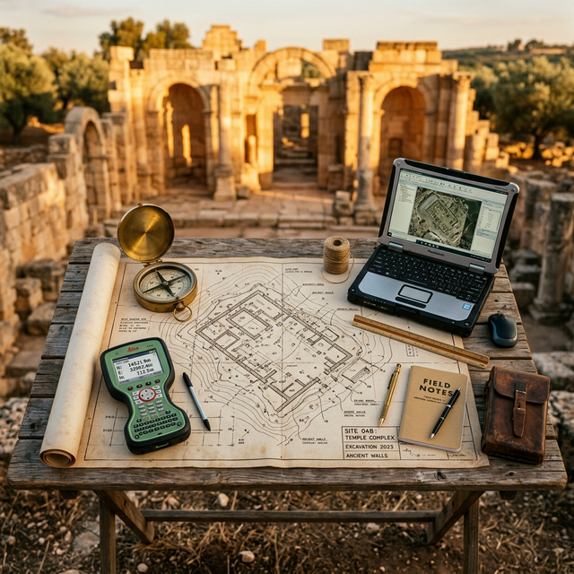
The Assessment
Planning the shoot
We begin every project with a full cultural and spatial feasibility study. Our team visits the site, maps access points, evaluates lighting conditions across the day, and produces a shoot blueprint — including equipment manifest, crew logistics, and heritage authority permits.
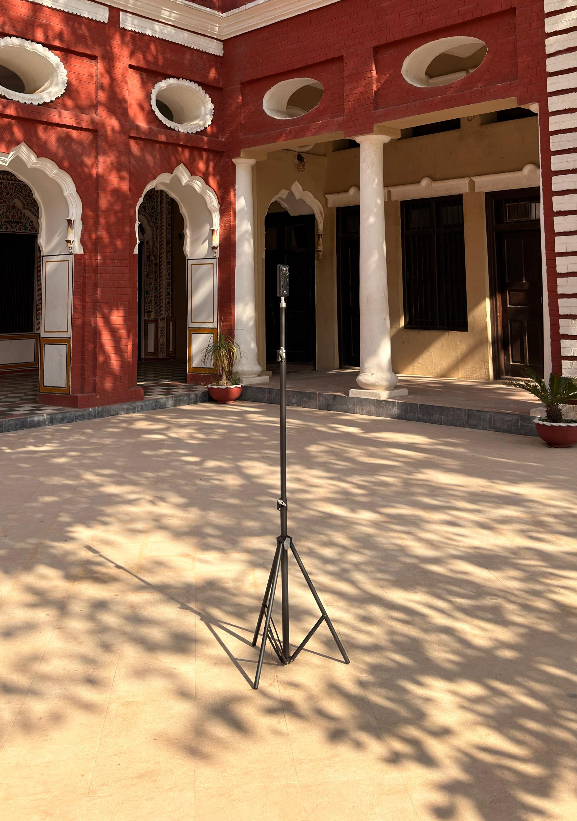
360° Capture & Camera Tech
Details on the hardware
We deploy Matterport Pro3 and Insta360 Pro 2 rigs, supplemented by DJI aerial platforms for exterior envelope coverage. Structured-light scanning is applied to high-detail architectural surfaces. Capture sessions span multiple lighting conditions to ensure the tour remains visually authentic at any time of day.

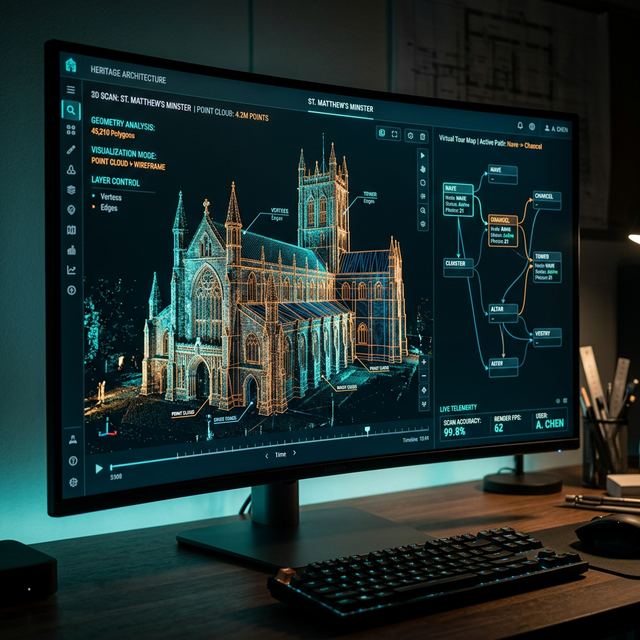
Editing & Post-Production
Colour, stitching, and polish
Raw spherical imagery is colour-graded to a heritage-neutral profile, aligned to a photometric standard established during the assessment phase. Blinding artefacts, crew reflections, and equipment shadows are removed. Each scan point is reviewed individually before delivery to the stitching stage.
Tour Stitching & Digital Development
Assembling the experience
Individual scan points are stitched into a navigable tour graph. Hotspots, information panels, audio narration anchors, and embedded media layers are authored against a content schema developed with the site custodian. The tour is then packaged for web (WebGL), VR (WebXR), and embedded-app delivery targets.
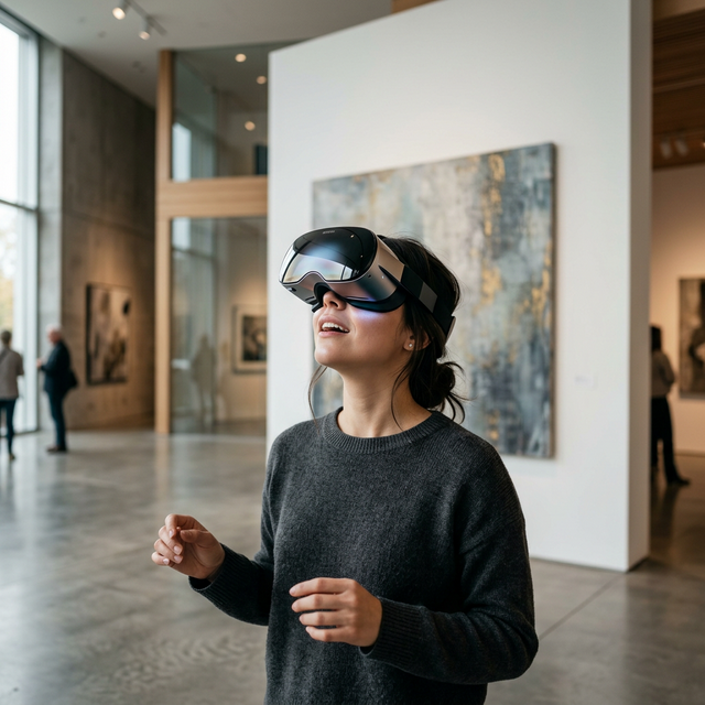
Deployment & VR Integration
Going live and beyond
Production builds are deployed to a global CDN with adaptive streaming for image tiles. VR headset compatibility is tested across Quest 3, Quest 2, and PSVR2. Analytics dashboards are handed over to the partner organisation. Post-launch SLA support covers a minimum 90-day monitoring and optimisation window.
Technology
Tools of the Trade
Purpose-built hardware and software that power every AKSE virtual tour, from capture to delivery.
Hardware
Insta360
HardwareHigh-resolution 360° cameras used to capture immersive and accurate spatial visuals.
Software
Matterport
SoftwarePlatform used for creating structured, high-quality 3D spatial experiences.
3DVista
SoftwareSoftware used to build interactive, customizable virtual tours with advanced navigation features.